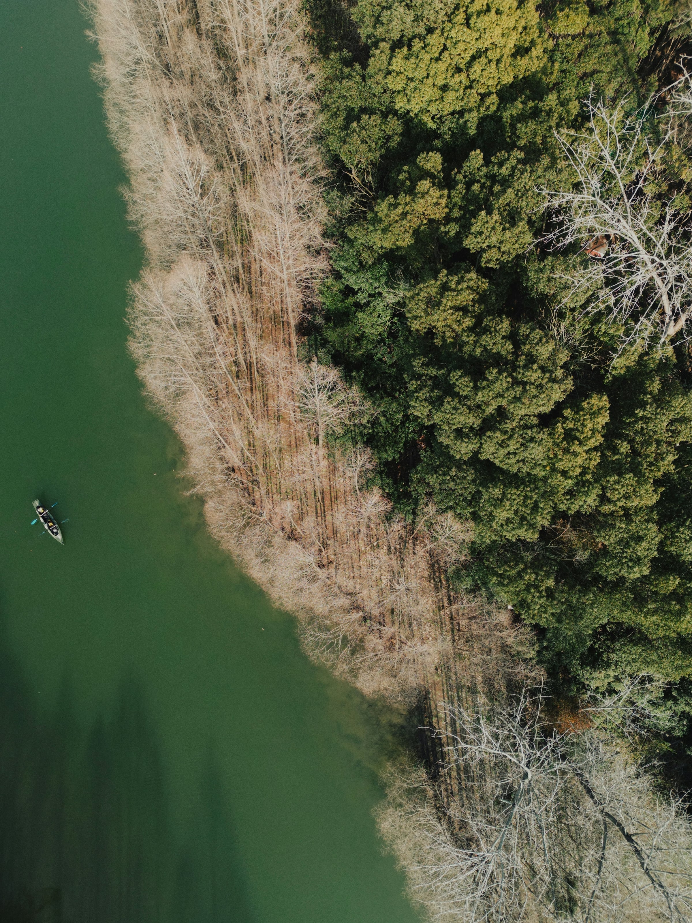
No single dataset ranks Richmond-area neighborhoods by boat-launch convenience, so this guide does not pretend to. Instead it starts with the public launches themselves, taken from the Virginia Department of Wildlife Resources (DWR) boating access list and from the city and county parks pages that run them, and then places six communities next to those sites using route distances the sources state. Where a distance is a sum of route legs, it is labeled approximate. The order runs west to east, upstream to downstream along the James River, and it is not a ranking.
This guide is about launching a boat, kayak or canoe. If you care more about trails and overlooks, see our guide to neighborhoods near the James River Parks, and for riding the riverside route by bike, see neighborhoods near the Virginia Capital Trail.
The public launches this guide relies on
- Osborne Landing, 9530 Osborne Turnpike, Henrico, VA 23231. Henrico lists three double boat slips and a canoe launch, open dawn to dusk. Henrico’s page shows a different ZIP in its map embed, so confirm before you navigate by ZIP.
- Deep Bottom Park, 9525 Deep Bottom Road, Henrico, VA 23231. Henrico lists two boat ramps and a canoe launch on Four Mile Creek, open dawn to dusk.
- Robious Landing Park, 3800 James River Road, Midlothian, VA 23113. Chesterfield lists a boat slide for non-powered craft such as canoes and kayaks, a floating dock and 102 acres.
- Huguenot Bridge site, Richmond. DWR lists a boat slide 0.2 miles west of the Huguenot Bridge, off Southampton Street.
- James River Park System, Richmond. The city describes a 600-acre linear park from Huguenot Flatwater to Ancarrow’s Landing with four public boat ramps.
- West View (Goochland), Maidens and Watkins Landing (Powhatan). DWR lists concrete ramps at all three, with route directions rather than street addresses.
Pony Pasture and other city river access points are not in this list because DWR does not list them and the city page we read does not give ramp details for them. We only name what a source showed us.
Goochland: a single ramp at the end of three roads
DWR’s directions to West View begin in the town of Goochland: Route 6 west for 3.5 miles, left on Route 600 for 4.8 miles, then right on Route 643 for 1.2 miles. That adds up to roughly 9.5 miles by road, and the site has one concrete ramp. For buyers browsing the Goochland community or the wider Goochland County area, that makes the ramp a destination rather than a neighbor.
Powhatan: two river ramps on the south bank
DWR places Maidens on Route 522 just south of Route 6, with one concrete ramp, and Watkins Landing with two concrete ramps. The Powhatan community sits in the county that holds both. DWR gives Watkins Landing directions starting in Bon Air: Route 147 west for 3 miles, right on Route 711 for 6.5 miles, then right on Route 625 for 1.2 miles, about 10.7 route miles in all.
Midlothian: a canoe and kayak slide, not a powerboat ramp
Robious Landing Park is the closest verified public river site for Midlothian. DWR’s directions put it 3 miles west on Route 711 (Robious Road) from the Route 147 intersection, and Chesterfield’s page confirms the address above. The slide serves non-powered craft only. Chesterfield’s page also says a section of the riverside trail is closed indefinitely after erosion, as read in October 2026.
Bon Air: the starting point DWR itself uses
When DWR writes directions to Watkins Landing, it begins “from Bon Air.” That makes Bon Air, in Chesterfield County, a useful reference point for the western river. Its Watkins directions reach the Route 711 turn 3 miles from Bon Air, and its Robious Landing directions run 3 miles west along Route 711 from the Route 147 junction, so Robious Landing is roughly 6 route miles from Bon Air by our approximate sum. It is the nearer public site for paddlers.
Stratford Hills: the Huguenot Bridge and Huguenot Flatwater
The Stratford Hills page on our site places the neighborhood south of the James near the Huguenot Bridge, and DWR’s boat slide sits 0.2 miles west of that bridge off Southampton Street. The city’s park system begins at Huguenot Flatwater, so this is the western end of the City of Richmond river corridor. The city also warns about river levels: personal flotation devices at 5 feet and above, experts only at 9 feet or above.
Varina: two Henrico landings on the lower James
Varina sits along the James in eastern Henrico County. Osborne Landing and Deep Bottom, both with ZIP 23231 addresses, are the best-documented public ramps in this guide: DWR lists six ramps at Osborne Pike Landing at Kingsland Road and Osborne Turnpike, and two at Deep Bottom, which it describes as 8 miles south of Seven Pines on Deep Bottom Road.
Get a saved search for these six areas
Set up a saved search on our property search pre-filtered to Goochland, Powhatan, Midlothian, Bon Air, Stratford Hills and Varina, and new listings in those areas reach you as they appear.
How to use this list when you are comparing houses
Pick the launch first, then the house. Measure the drive from each address to the specific landing, because a community name covers many miles. If you plan to finance the purchase, run the monthly numbers on our mortgage calculator and talk through the process on our buying page. For more water-oriented picks, read our guide to neighborhoods on a lake or reservoir.
Do not assume that a nearby ramp means water views or water frontage. A public landing is a county, city or state site, and living near one gives you no rights to it beyond what every member of the public has.
Frequently asked questions
Is a boat slide the same as a boat ramp?
No. DWR labels each site by type: concrete ramp, boat slide, or concrete ramp for hand-carry boats. In its list, Robious Landing and the Huguenot Bridge site are boat slides with zero ramps, while Osborne Pike Landing, Deep Bottom, West View, Maidens and Watkins Landing are concrete ramps. If you tow a boat on a trailer, confirm the type before you build a neighborhood search around a site.
Does the City of Richmond have its own public boat ramps?
Yes, through the James River Park System. The city says the park runs along both sides of the river from Huguenot Flatwater to Ancarrow’s Landing and includes four public boat ramps. DWR’s own list, as read in October 2026, had no entries for the City of Richmond, so the city page is the better source for those sites.
Are there public river access points in Hanover County?
Yes, but they are on smaller rivers rather than the James. DWR lists Little Page Bridge on the Pamunkey River as a boat slide, and Patrick Henry and Ground Squirrel Bridge on the South Anna River as concrete ramps for hand-carry boats. Those are paddling and small-boat sites, not trailer-ramp sites.
What water level should I check before launching in the city?
The city advises personal flotation devices on every watercraft when the river is at 5 feet and above, and says only expert paddlers should use the river for recreation at 9 feet or above. The park system lists a river level line at (804) 646-8228.
Can I use these landings after dark?
Not by default. Henrico lists Osborne Landing and Deep Bottom as open dawn to dusk, and the city park system lists sunrise to sunset hours. Chesterfield’s Robious Landing Park page did not state hours in the version read for this article, so check it before planning an early or late trip.
Are the riverside trails at these parks always open?
No. Chesterfield’s page says a section of the trail along the James River at Robious Landing Park is closed indefinitely after erosion from heavy rain and high water. The city also posted a notice that the pedestrian bridge at Texas Beach is closed. Park pages change, so look at the owner’s page before you go.
Which areas should I put in a saved search if I want a river launch close to home?
Start with the six named in this article: Goochland, Powhatan, Midlothian, Bon Air, Stratford Hills and Varina. Then narrow by the site you actually use, since route distances in this article are measured to specific landings, not to the whole community.
Your saved search, ready when you are
The same offer, restated: a saved search on our property search covering Goochland, Powhatan, Midlothian, Bon Air, Stratford Hills and Varina.