How to check internet and broadband options at a Richmond-area address
Use the FCC National Broadband Map, Virginia DHCD and county pages to check internet at a Richmond-area address, with dated official facts by locality.



Use the FCC National Broadband Map, Virginia DHCD and county pages to check internet at a Richmond-area address, with dated official facts by locality.

Route 10 links the Chesterfield courthouse area, Chester, Enon and Hopewell. Here is how the places along it compare, which have our community pages, and…
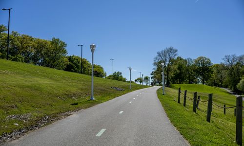
The Fall Line Trail is planned to run about 43 miles from Ashland to Petersburg, but only some pieces are built. Here is the route…

Richmond's loft condos cluster in six historic districts: Shockoe Slip, Jackson Ward, Shockoe Bottom and Tobacco Row, Monroe Ward, Manchester and Scott's Addition. Here is…
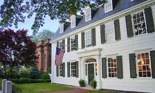
Ginter Park, Forest Hill, the Museum District, the Fan along Monument Avenue, the Three Chopt Road area near Westhampton and Bon Air all have state…
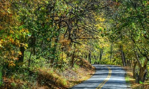
Route 5 (New Market Road) in eastern Henrico: what Henrico's safety study and corridor study pages say, with the dates printed on them, and six…
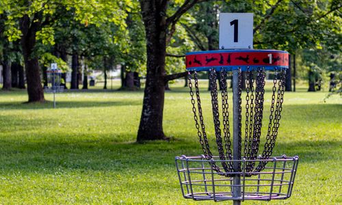
Official parks pages confirm public disc golf at Dunncroft/Castle Point Park, Bryan Park, Gillies Creek Park, Dorey Park and Goyne Park. Here are the neighborhoods…
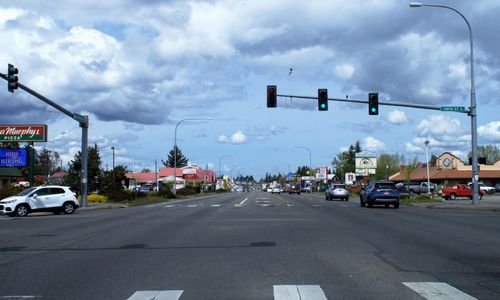
Midlothian Turnpike (Route 60) runs from Richmond's Southside through Chesterfield into Powhatan. Here are the neighborhoods near it, grouped by stretch, with the bus service…
Hull Street Road runs from Manchester to western Chesterfield. Here are the neighborhoods along it, in order heading out, with the county and city road…
If your commute runs west on I-64, the neighborhoods near Parham Road, Gaskins Road and Broad Street put you 54 to 57 interstate miles from…