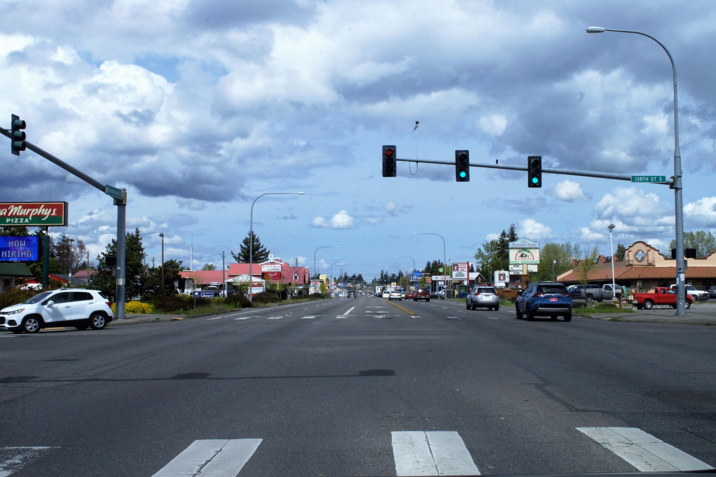
Midlothian Turnpike gives you something Hull Street Road does not: a GRTC local bus that runs well out into Chesterfield. Route 1A was extended eight miles out the turnpike in January 2024, according to Chesterfield County’s announcement. The cost is that Route 60 is a busy commercial road for most of its length, and the county has several safety and pedestrian projects underway on it, so expect work zones for a while.
The neighborhoods below sit on or near the turnpike. Some touch it. Some are a mile or more away and use it as their main east-west road. We say which is which, because “near Route 60” means very different things in Westover Hills and in Powhatan.
How we grouped and ordered the list
We split the corridor into three stretches and list them from east to west: inside the City of Richmond, the inner Chesterfield suburbs, and the outer stretch toward Midlothian Village and Powhatan. Inside each group, places run in the order you would meet them driving west. This is a map, not a ranking.
There is no public dataset of commute times by neighborhood for the Richmond area, so we do not quote drive times. Instead, each pick rests on something you can check: how close our community page’s boundary map comes to the turnpike (measured as a straight line), the GRTC routes listed on GRTC’s system map, and the county project pages for that stretch. We read every linked page on November 5, 2026.
This post is the westward companion to our Route 360 Hull Street corridor guide. If your question is about the tolls on the Powhite and the free Chippenham Parkway, our toll commute guide covers that, so we do not repeat it here.
Forest Hill: north of the turnpike, a short drive south to it
Our Forest Hill boundary map stops a little over half a mile (straight line) north of Midlothian Turnpike. Forest Hill Avenue is the neighborhood’s own main road, and GRTC’s map shows stops along it, including at 41st and at Westover Hills Boulevard. For shopping and the turnpike’s bus lines, you head south.
Westover Hills: connected by Westover Hills Boulevard
Westover Hills sits under a mile (straight line) north of the turnpike on our boundary map. Westover Hills Boulevard runs south from the neighborhood toward Midlothian Turnpike, and GRTC lists stops on it at Crutchfield and at Bassett. To the north is the Boulevard Bridge, which matters if you work across the river; the toll is in our toll guide.
Stratford Hills: close to the corridor, not on it
We checked Stratford Hills and it is honestly a stretch for this list. Our boundary map puts it roughly two miles (straight line) north of the turnpike, near the Huguenot Bridge, as our community page describes. It belongs here only if Route 60 shopping and services are a weekly errand, not a daily commute.
Bon Air: the turnpike along its southern edge
Bon Air is the inner-suburb pick with the most direct claim. Our boundary map meets Midlothian Turnpike along Bon Air’s southern edge. Three county projects sit on this part of Route 60:
- Route 150 and Route 60 interchange. Regional transportation authority (CVTA) money is paying for a study of operations and safety where Chippenham meets the turnpike. The county page says the report should be completed in late 2026, with preliminary engineering after that.
- Springline/Stonebridge to Ruthers Road. Sidewalks on both sides of Route 60, plus crosswalks and pedestrian signals at Ruthers Road and Turner Road. The county page says Muller Construction received a notice to proceed in October 2026, with completion by summer 2027.
- Boulders Parkway to Arcadia Street. Closer to the city line, the county plans to limit the Donald May Jr. intersection to right turns in and out and send Boulders Parkway through traffic to U-turns, with a sidewalk or shared-use path. The county page warns of night and weekend work.
For news on the Bon Air side of the corridor, see our report on the Stony Point Village sale.
The Chesterfield Towne Center stretch: still inside our Bon Air boundary
Farther west, the turnpike passes Johnston-Willis Drive, Chesterfield Towne Center and North Courthouse Road. GRTC’s map lists stops at each, and at Walmart Way farther west. On our boundary map, Chesterfield Towne Center and Johnston-Willis Hospital both fall inside Bon Air. Our Midlothian boundary starts farther west. We treat this stretch as the corridor’s service hub rather than as a neighborhood of its own. GRTC’s map, read November 5, 2026, still lists Route 1A as Hull/Midlothian/Southside Plaza. Check its schedule for current frequency before you plan a car-light life around it, and see our guide to Richmond’s frequent bus routes for how it compares.
Midlothian Village: the planned slow-down stretch
Around the historic village, the county is designing the Route 60 corridor enhancements between Old Otterdale Road and Woolridge Road. The page describes bicycle, pedestrian and access-management changes. It says they follow the Village of Midlothian corridor study and the Midlothian Special Area Plan the county adopted in 2019. The project is locally funded for design, and the page lists no construction date. For one recent development case on the turnpike, see our news post on Winterfield Crossing.
Salisbury: the western turnpike on its southern edge
Salisbury sits north of Route 60. Our boundary map comes within about a tenth of a mile (straight line) of the turnpike at its southern edge, in the same western stretch as the village project. For daily trips, the turnpike is the road you would use toward Chesterfield Towne Center and Chippenham.
Powhatan: where Route 60 keeps going west
Route 60 runs on past Chesterfield into Powhatan County, where the road becomes Anderson Highway. Our Powhatan community boundary meets it. Out here, the turnpike is a rural highway rather than a retail strip. Buyers come for more land, which you can browse in our homes with acreage search.
Get a saved search for the Route 60 corridor
Tell us which of Westover Hills, Forest Hill, Bon Air, Midlothian, Salisbury and Powhatan you want, and we will set up a saved search so new listings near Midlothian Turnpike reach you as soon as they post. You can also browse current listings.
Search homes in Westover Hills, Bon Air, Midlothian and Salisbury
How to test the corridor before you commit
Three checks will tell you more than any list:
- Drive your real trip twice. Once at your morning hour on a weekday, once on a Saturday afternoon, when the retail stretch near Chesterfield Towne Center is busiest.
- Look up the project page for your crossing. If your street meets Route 60 inside one of the project limits above, ask how long the work zone will last. The county lists a contact on each page.
- Test the bus if you need it. Ride Route 1A from the stop nearest the house to your job before you buy. If the bus will not work, look at our guide to park-and-ride and express bus options.
Then put the numbers together. Our mortgage calculator lets you add your own commuting costs next to the payment.
Your next step
Name the stretch that fits your week (city, inner suburbs or the western turnpike) and we will build the saved search for those areas, then tour homes with you at the hours you would actually drive. That is the same offer as above, just narrowed to your shortlist.
Set up my Route 60 saved search
Prefer to talk first? Contact us or call (804) 601-4960.
Frequently asked questions
Is Midlothian Turnpike the same as Route 60?
Yes. Midlothian Turnpike carries the Route 60 number through Richmond’s Southside and Chesterfield. In Powhatan County the same road becomes Anderson Highway.
Does a GRTC bus run along Midlothian Turnpike into Chesterfield?
Yes. Chesterfield County announced that GRTC Route 1A would run eight miles out Midlothian Turnpike starting January 14, 2024, seven days a week, as far as Walmart Way. GRTC’s system map still lists Route 1A. Check the current schedule for frequency.
Which neighborhoods on this list actually touch Route 60?
On our boundary maps, Bon Air, Salisbury, the large Midlothian area and Powhatan meet or nearly meet the turnpike, and Bon Air’s boundary even takes in Chesterfield Towne Center. Forest Hill and Westover Hills sit under a mile north. Stratford Hills is about two miles north, measured as a straight line.
Is the county widening Midlothian Turnpike?
The projects we read are mostly about crossings, turn movements, sidewalks and a study of the Chippenham interchange. None of the county pages we read describes adding through lanes to Route 60.
What is the Midlothian Special Area Plan?
It is a county plan adopted in 2019 for the Midlothian village area. The Route 60 corridor enhancements between Old Otterdale Road and Woolridge Road follow it, according to the county’s project page.
Why are there no drive times in this guide?
No public dataset gives commute times by neighborhood for the Richmond area. Traffic on a retail road like Route 60 also changes by hour and day, so a single number would mislead you.
Do work zones on Route 60 affect closing or financing?
Not directly. Road projects do not change a loan or a closing date. They can affect how a house shows and how long your commute is for a while, so ask about timing before you write an offer.
Where do I report a problem or ask about a project?
Each Chesterfield project page lists a county Transportation Department contact at (804) 748-1037. VDOT administers construction on some of them.